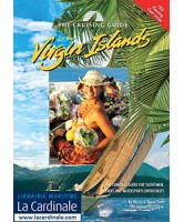
The Cruising Guide to the Virgin Islands


Brand new completely re-designed and updated style, with more Virgin Island photography and full color detailed anchorage charts, these guides have been indispensable companions for sailors and visitors to these islands since 1982. Includes a free newly designed 17 x 27 color planning chart, with aerial photos of some of the anchorages. Covers the Virgin Islands including all the U.S. and British Virgin Islands.